
Aerial photogrammetry and digital terrain models.
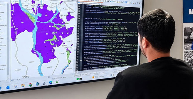
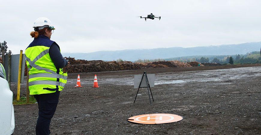
Aerial photogrammetry rebuilds the terrain from overlapping aerial photographs. IMF flies drones and processes the images to obtain 2D and 3D digital models of the territory, which are useful for measuring, visualizing and understanding the terrain.
Before each flight we review the objective, the coverage area, the terrain conditions, the required resolution and the weather, so that the data serves the purpose it is meant for.
What it includes
- High-resolution aerial photography and video.
- Aerial photogrammetry and image processing.
- 2D and 3D digital models of the terrain.
- Assessment of productive and plant-health conditions from the captured data.
- Reports, plans and georeferenced images.
What it is used for
- Viewing hard-to-reach areas without putting people at risk.
- Measuring surfaces and relief to plan the operation.
- Detecting and locating areas with productive or plant-health problems.
- Recording how a property changes over time through successive surveys.
Frequently asked questions
Depending on the project objectives, it is possible to produce aerial photographs, orthophotos, digital models, 2D and 3D representations, surface calculations and area analysis.
We review the survey objective, the coverage area, the terrain conditions, the required resolution, the weather and the technical parameters needed.
Yes. With successive surveys of the same zone, the condition of the terrain can be compared between dates, as long as the flight parameters remain comparable.
More information
- Geomatics
- Orthophotos and digital mapping — Orthophotos, plans and georeferenced maps of the terrain.
- Volume calculation of timber, biomass and stockpiles — Timber, biomass and stockpile volumes measured from the air.
- Geospatial analysis and SHP files for GIS — Territorial analysis and georeferenced files for GIS.
Need accurate territorial information?
Let’s discuss the surveying, processing, and analysis your project requires. +(56) 43 234 16 30
Let’s turn territory into useful information.