
Timber, biomass and stockpile volumes measured from the air.
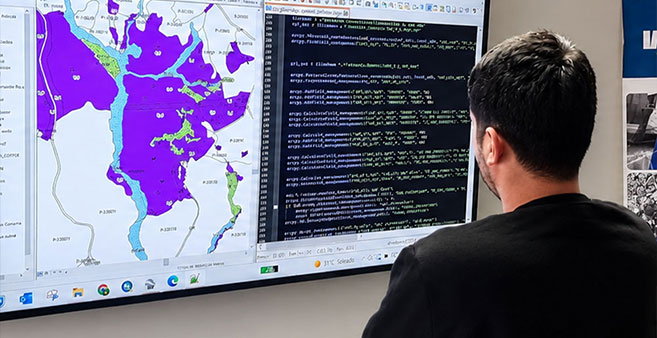
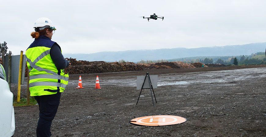
Measuring a stockpile from the ground is slow and exposes people to risk. IMF surveys the area with a drone, models the surface and calculates the volume of timber, biomass or stockpiles from that digital model.
The result is delivered with the plan, the report and the georeferenced files, so the figure is backed up and can be compared between measurements.
What it includes
- Aerial survey of the stockpile area or the area to be measured.
- 2D and 3D digital model of the surface.
- Volume calculation of timber, biomass and stockpiles.
- Surface calculation and area analysis.
- Report, plans and georeferenced files for review.
What it is used for
- Controlling timber and biomass inventories in yards and stockpile centers.
- Reconciling stock with the operation's records.
- Planning dispatches and use of stockpile space.
- Having technical evidence of the volume measured on a given date.
Frequently asked questions
Yes. The captured data can be used to calculate surfaces, areas and volumes of items such as timber, biomass or stockpiles, as long as the survey has suitable conditions.
The volume is delivered together with plans, reports and georeferenced files, so the calculation can be reviewed and repeated in a later measurement.
Yes. IMF also provides services in logistics centers, and these surveys can complement stock control in those operations.
More information
- Geomatics
- Orthophotos and digital mapping — Orthophotos, plans and georeferenced maps of the terrain.
- Drone photogrammetry and 2D and 3D models — Aerial photogrammetry and digital terrain models.
- Geospatial analysis and SHP files for GIS — Territorial analysis and georeferenced files for GIS.
Need accurate territorial information?
Let’s discuss the surveying, processing, and analysis your project requires. +(56) 43 234 16 30
Let’s turn territory into useful information.