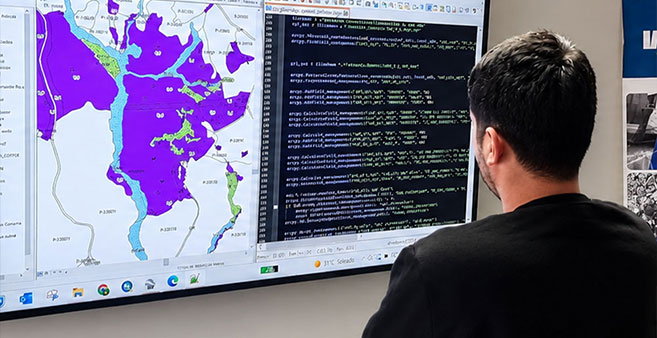
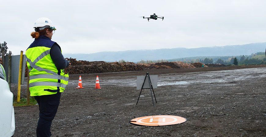
Orthophotos, plans and georeferenced maps of the terrain.
An orthophoto is an aerial image that has been corrected and georeferenced, so you can measure on it as you would on a plan. IMF captures images with drones and processes them into up-to-date orthophotos and digital maps of each property or work site.
With this product, areas, distances and boundaries no longer have to be estimated by eye: they are measured on project data that is ready to use in the client's own systems.
What it includes
- Aerial capture with drones, with the coverage and resolution the project requires.
- Georeferenced orthophotos of the surveyed area.
- Digital mapping and preparation of plans.
- Surface calculation and area analysis.
- Delivery of georeferenced files, including SHP and other GIS-compatible formats.
What it is used for
- Planning operations, roads and access routes on up-to-date information.
- Checking boundaries and planted or intervened areas.
- Documenting the condition of the terrain before and after an operation.
- Supporting operational control with a shared map base.
Frequently asked questions
An orthophoto is corrected and georeferenced, so it keeps the true proportions of the terrain and lets you measure distances and areas. An ordinary aerial photograph does not have that correction.
It is enough to state the location of the area, the purpose of the survey and how the result will be used. IMF defines the coverage and the technical flight parameters from that information.
Yes. The products are prepared in georeferenced formats compatible with GIS, so they can be loaded into the tools the client already uses.
More information
- Geomatics
- Drone photogrammetry and 2D and 3D models — Aerial photogrammetry and digital terrain models.
- Volume calculation of timber, biomass and stockpiles — Timber, biomass and stockpile volumes measured from the air.
- Geospatial analysis and SHP files for GIS — Territorial analysis and georeferenced files for GIS.
Need accurate territorial information?
Let’s discuss the surveying, processing, and analysis your project requires. +(56) 43 234 16 30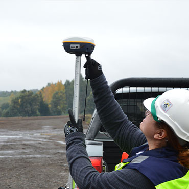
Let’s turn territory into useful information.