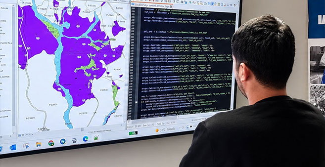

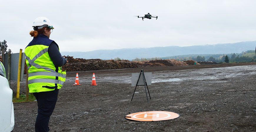
Territorial analysis and georeferenced files for GIS.
Territorial information is only useful if it can be used. IMF prepares the results of each survey as georeferenced files, including SHP and other GIS-compatible formats, ready to be loaded into the client's platforms.
On that basis we carry out the territorial analysis: surfaces, productive conditions and operational data are combined to support planning and control.
What it includes
- Generation of georeferenced files.
- Delivery of SHP files and other GIS-compatible formats.
- Integration with the client's platforms and systems.
- Territorial analysis for operational planning.
- Technical support for planning and control.
What it is used for
- Loading project data into the company's GIS.
- Overlaying layers of surfaces, productive conditions and operations.
- Keeping maps up to date and consistent across areas.
- Making planning decisions with data measured in the field.
Frequently asked questions
Results can include plans, reports, georeferenced images, orthophotos, digital models and files such as SHP or other GIS-compatible formats.
Yes. Georeferenced products can be prepared for loading into the platforms, GIS and analysis tools the client uses.
Yes. IMF also develops custom platforms and dashboards, so geospatial data can be connected to the operation's management indicators.
More information
- Geomatics
- Orthophotos and digital mapping — Orthophotos, plans and georeferenced maps of the terrain.
- Drone photogrammetry and 2D and 3D models — Aerial photogrammetry and digital terrain models.
- Volume calculation of timber, biomass and stockpiles — Timber, biomass and stockpile volumes measured from the air.
Need accurate territorial information?
Let’s discuss the surveying, processing, and analysis your project requires. +(56) 43 234 16 30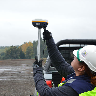
Let’s turn territory into useful information.