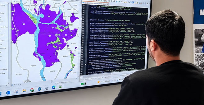

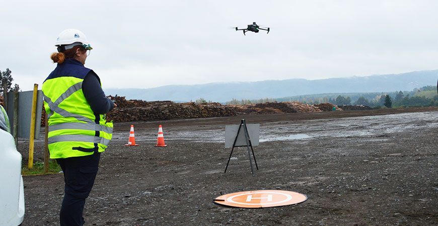
Applied geomatics for a complete view of the territory
Geomatics integrates technology, data, and spatial analysis to transform territory into strategic information. Through drones, GIS systems, and digital cartography, we capture and represent reality with precision.
At IMF, we combine aerial surveying, georeferenced data capture, image processing, and geospatial analysis to generate up-to-date and useful information for each operation.
Our results help visualize, measure, and understand surfaces, volumes, productive conditions, and terrain behavior, supporting planning and resource optimization in forestry, agriculture, and industrial sectors.
Service capabilities
- High-resolution aerial photography and video.
- Aerial photogrammetry.
- Orthophotos and digital cartography.
- 2D and 3D digital models.
- Surface calculation and area analysis.
- Volumetric calculation of wood, biomass, and stockpiles.
- Assessment of productive and phytosanitary conditions.
- Plan drafting.
- Generation of georeferenced files.
- Delivery of SHP files and GIS-compatible formats.
- Integration with client platforms and systems.
- Territorial analysis for operational planning.
Our work process
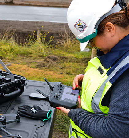
Accurate capture
We define objectives, coverage, and technical parameters to collect images and georeferenced data using technology suited to each project.
Territorial analysis
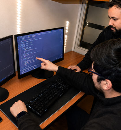
We process and model information to understand surfaces, productive conditions, volumes, and terrain behavior.
Applicable results
We deliver cartography, models, plans, reports, and GIS-compatible files prepared for operational use.
Territorial information for clearer decisions
IMF integrates aerial capture, geospatial processing, and territorial analysis to provide a complete view of each project. The combination of technology, field experience, and cartographic products supports planning, resource control, and operational decision-making.
- Updated georeferenced information.
- Clear visualization of the territory.
- Measurement of surfaces and volumes.
- Products compatible with GIS systems.
- Technical support for planning and control.
Specialized geomatics services
- Orthophotos and digital mapping — Orthophotos, plans and georeferenced maps of the terrain.
- Drone photogrammetry and 2D and 3D models — Aerial photogrammetry and digital terrain models.
- Volume calculation of timber, biomass and stockpiles — Timber, biomass and stockpile volumes measured from the air.
- Geospatial analysis and SHP files for GIS — Territorial analysis and georeferenced files for GIS.
Frequently asked questions about geomatics
Geomatics brings together technologies and methodologies to capture, process, analyze, and represent geographic information. It is used to measure territory, generate cartography, and support planning and control decisions.
Depending on project objectives, it is possible to generate aerial photographs, orthophotos, digital models, 2D and 3D representations, surface calculations, volumetric analyses, and other georeferenced products.
The survey objective, coverage area, terrain conditions, required resolution, weather conditions, and technical parameters needed for adequate capture are reviewed.
Results may include plans, reports, georeferenced images, orthophotos, digital models, and files such as SHP or other GIS-compatible formats, depending on the agreed scope.
Yes. Captured information can be used to calculate surfaces, areas, and volumes of elements such as wood, biomass, or stockpiles, provided that the survey and project conditions are suitable.
Yes. Georeferenced products can be prepared for incorporation into platforms, GIS systems, and analysis tools used by the client.
Need accurate territorial information?
Let’s discuss the surveying, processing, and analysis your project requires. +(56) 43 234 16 30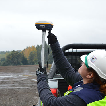
Let’s turn territory into useful information.